The drive was a bit more than I expected. I had to go into 4wd (high) at one point to go up a steep hill while bouncing over rocks. That voice in the back of my head kept telling me that I was toast if I blew a tire in this desolate area. All by yourself and did the last person use a hydraulic tool to put on the lug nuts? And when was the last time you checked the air pressure in the spare? Shut up voice. My tires are new, I have plenty of water and food, sunscreen, and the Interstate is less than 10 miles away. I can walk that if I have to. My room mate has instructions to get help if I don't contact her by 7pm. Shut up voice. Yeah, I know you're right... someone should be with me but part of the specialness of this place is being alone. So pipe down!

 There are lots of ruins in the monument but in order to preserve them only one has been identified on maps. Pueblo La Plata is on a high, wind-swept plateau overlooking Silver Canyon (whence it's name). It is on the northwestern edge of the Perry Plateau and is thought to have been the first outpost for anyone traveling up that way. It had an excellent vantage point as you could see anyone coming for miles. Water was available in Silver Canyon - a little bit of trek with heavy pots full of water. The gash in the photo above is Silver Canyon, and expanded to the right. Supposedly more water ran in the canyon back in A.D. 1250-1450 when these rooms were inhabited. Still, quite a daily trek for water. The canyon edge is maybe a quarter mile from the ruins.

In many ways there was the same peacefulness as at Wukoki that makes me want to sit and just listen to the wind, grasshoppers buzzing their metallic sound and the sparrows chirping just out of view. I sat and tried to imagine the walls intact, people going about their daily tasks, children playing... where the heck did all these people poop? No privacy at all. But maybe there were more bushes and trees back then... or maybe that kind of bodily function wasn't the hidden function that it is now. Other signs of life were evident. There were potsherds and flints lying all around.

People have piled them up on rocks. I cannot describe the feeling as you pick up a piece of pottery that was made 3,000+ years ago. Some person formed that pot, fired the clay and used it for their daily work. And here this small piece sits. 3,000 years later. Lots of them, all around. Also plenty of flints - quartz and obsidian pieces that have been chipped into cutting stones. I stand and look around me, again, wondering about the daily lives of the people that lived here. I flinch at the scrabbling sound of a lizard. My mind is very aware that is prime rattlesnake territory. But all I see in the sand are the trail drags of the multitudes of whiptail lizards. This guy picked up all his feet off the warm soil (yes, male from the color on the throat that you can't see) as he waited for me to take my photo.

Funnel spiders had their webs all over the place up on this plateau. I have only seen one, maybe two at a time in other locations - but here? Maybe 15 to a clearing - their gossamer webs shining like opal iridescent dinner plates in the low plants.

This is what you see of the ruins as you approach. A low hill which is almost completely comprised of the ruins. Out around the hill they would have had fields as they grew squash, corn and other plants (amaranth? beans?) according to the fact sheet. Museum of Northern Arizona and Arizona State University are both doing research in this area. ASU in particular is looking at types of fields and farming techniques used by prehistoric cultures. Nice place to do your field work.

So here is where my day digressed... I decided without a partner to the day that I wouldn't continue down Bloody Basin Road the 20+ unmaintained dirt miles to its ending in Cave Creek. I wasn't sure of the water level at the Verde River crossing and didn't feel like having to back track that far. So instead I headed back out the way I came. Got an alert on my phone that 2 accidents had closed I-17 in both directions. Great. Memorial Day weekend and the main North-South route is closed. There ought to be some tempers in high fettle today! I decided to take another road off of Bloody Basin that would take me to Cordes Lakes. I wound my way through the neighborhoods heading back to the Interstate. Another alert... northbound reopened but southbound (my direction) was closed still due to a fatal accident. So I ate lunch and decided to explore Dugas Rd. - another exit off the interstate that has always called to me. It is 7 miles to the settlement of Dugas. The first 3 are paved... sort of.. and then it's dirt from there on.

The scenery was beautiful and flowers were plentiful. Wind made it hard to photograph the Prickly Poppies as they were waving all around. Bees were having to clutch the stamens to keep from being blown off while gathering the nectar. I was trying for a bee picture - but they kept getting knocked off. Not a good bee day.

Dugas was a small settlement - from looking online it appears to be mostly the homes of the Dugas and Teskey families - ranchers. At one time they boarded the men who were working on the Childs powerline. There was a school and post office for a short time. It is a pretty place with a creek running through. The surrounding area is beautiful with canyons and hills. I can understand why the families remain there.

As the day progressed the clouds became wonderful - trailing wisps. My room-mate thought they looked like jellyfish tentacles.
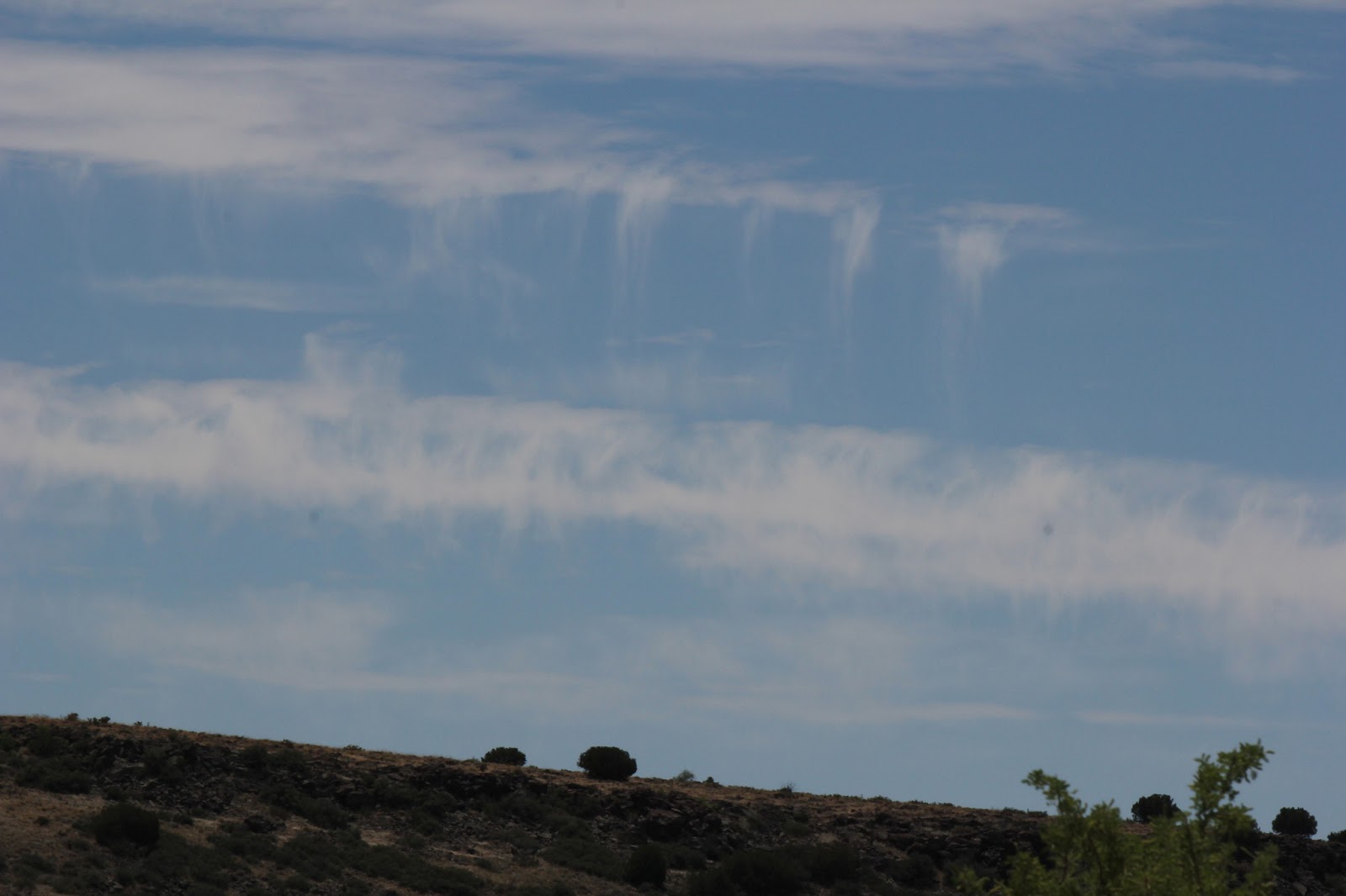
I finally decided that I would take my chances on the interstate - hoping it had been cleared by now. No such luck. I spent 2 hours stuck in a bumper to bumper parking lot - occasionally crawling a few hundred yards. We eventually got turned around at Sunset Point. This was the glorious sky I got to look at while I sat (and played Angry Birds).

I drove back up to Camp Verde and took the route over to Strawberry and through Payson. I need to do some camping up there. Not this weekend perhaps, but later this summer. Strawberry and Payson were both holding Arts festivals which made for slow traffic and packed roads. But I eventually made it home, grabbed my dog and some clothes and got over to the dog-sitting house. Dozer didn't make it and had taken a potty break in the guest room. Not the day I had expected....
No comments:
Post a Comment